
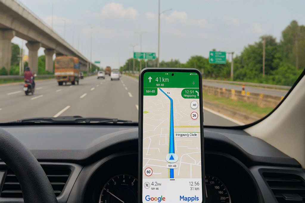
For years, Google Maps has dominated the Indian navigation landscape. But now, a homegrown alternative — Mappls, developed by MapmyIndia — is challenging the global giant with its uniquely India-centric features and advanced local mapping technology.
Designed to solve the real-world navigation challenges faced by Indian users, Mappls combines decades of ground-level data collection with artificial intelligence and satellite-backed accuracy. Here are the five standout features that make it a serious rival to Google Maps in India.
1. Mappls Pin: Solving India’s Address Problem
One of the app’s most innovative features is the Mappls Pin, a six-character digital code that identifies any location precisely — from homes in dense urban neighborhoods to remote villages.
This system addresses India’s long-standing issue of incomplete or unstructured addresses. Similar to Google’s Plus Codes, the Mappls Pin integrates with India’s DIGIPIN framework, offering door-level accuracy for users, delivery services, and emergency responders.
2. Toll & Trip Cost Calculator
Unlike traditional navigation tools, Mappls helps users plan trips based on cost-efficiency, not just distance. Its Toll & Trip Cost Calculator estimates toll charges and fuel expenses before you start a journey.
This feature is especially valuable for long-distance travelers, logistics companies, and commercial drivers, enabling smarter route planning and budget control.
3. 3D Junction Views for Complex Interchanges
Driving through India’s multilayered flyovers and intersections can be daunting. Mappls tackles this with 3D junction views, offering a realistic visual representation of lanes, exits, and nearby landmarks.
This technology, developed in collaboration with ISRO, provides satellite-assisted precision mapping, enhancing driver confidence and reducing the likelihood of wrong turns.
4. Live Traffic Signal Timers
Currently active in Bengaluru, this feature displays real-time countdowns for red and green signals within the app.
Powered by AI and live data, it predicts signal changes, adjusts routes based on congestion, and even recommends detours when necessary. This innovation is part of Mappls’ efforts to create smarter traffic management systems tailored to Indian cities.
5. India-Specific Road Alerts
Perhaps the most practical advantage of Mappls is its India-specific safety alerts. The app warns drivers of potholes, speed breakers, sharp turns, and speed cameras — road conditions often missed by global mapping platforms.
These alerts are powered by MapmyIndia’s extensive on-ground data network, offering a safer and smoother driving experience across India’s diverse terrains.
A Homegrown Contender for India’s Roads
While Google Maps remains the global leader in navigation, Mappls is quickly gaining traction as India’s smart, hyper-local alternative.
Its combination of indigenous data, AI-powered traffic insights, and detailed road intelligence makes it uniquely suited for Indian conditions. For drivers navigating crowded city lanes or rural roads, Mappls may just be the smarter, more reliable choice.
Originally published on newsworldstime.com.
Originally published on 24×7-news.com.